Drone Mapping Technology To Lead Ghana’s Land Digitalisation Agenda
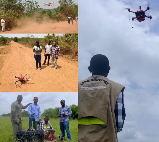
Drone Mapping Technology To Lead Ghana’s Land Digitalisation Agenda. Accra, Oct. 17, GNA – A pilot project conducted in Ghana by Micro Aerial Projects LLC, in collaboration with Survey and Mapping Division of the Lands Commission, has given a strong indication that digitalisation of land administration is possible. Recently, we had an article published on… Read More »